Editors’ Picks
Found in Robotics News & Content, with a score of 9.27
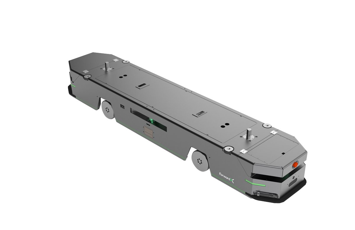
…deep learning computer vision paired with a LIDAR-based SLAM navigation system making it suitable for stable operations in a complex environment,” the company said on Lynx's online product page. “It works alongside personnel, other AMRs, and customers’ existing automation equipment without a need for remodeling or laying out magnetic strips or other fixed routes,” it added. Forward X pushes to standout in North America The robot is outfitted with a range of sensors and components including laser scanners, depth cameras, 2D cameras and 3D cameras. It offers 0.4-inch docking precision and 360° obstacle detection and avoidance to ensure the safety…
Found in Robotics News & Content, with a score of 10.29
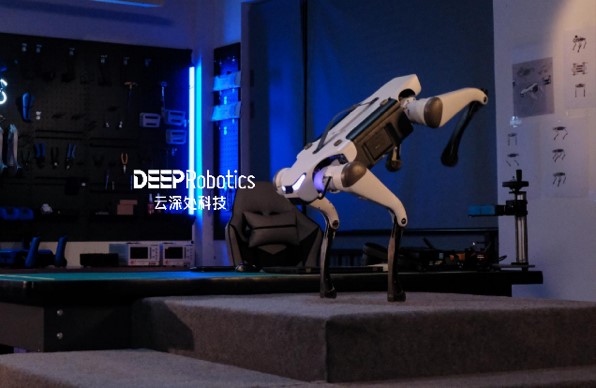
…be readily added, claimed the company. To enhance its navigation across very challenging terrain, the Lite3 provides leveled-perception interfaces (SDK, API), said DEEP Robotics. They are combined with lidar and a depth camera for to develop autonomous navigation and stopping, obstacle avoidance, visual positioning, 3D scanning, and other perceptional abilities. “Lite3's better visual perception, interaction and obstacle clearance capabilities mean it can meet many secondary application development needs,” said DongXin Zheng. “Most users can access the functional interface and code it for specific uses.” Lite3 series is designed to be more agile, stronger, and more affordable than its predecessors. Source:…
Found in Robotics News & Content, with a score of 9.33
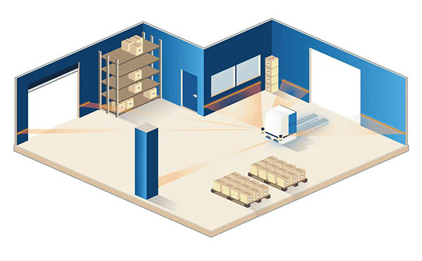
…happy to explain to Automate's visitors how the ANT navigation platform - in particular, our ANT server software - can enable that.” The company said the ANT system takes advantage of a vehicle's “existing laser safety scanners to first identify and then match permanent features in the environment, such as walls, pillars, and machines,” according to its website. BlueBotics to host session with Oceaneering Mobile Robotics The St-Sulpice, Switzerland-based company will also be teaming up with Oceaneering Mobile Robotics to host a seminar dedicated to building the business case of automated vehicle technology. The session will be hosted by Matt…
Found in Robotics News & Content, with a score of 3.96
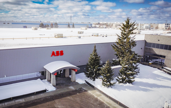
…mapping functions, Visual SLAM enables AMRs to make intelligent navigation decisions based on their surroundings. Solutions like these enable manufacturers to move away from traditional production lines towards integrated scalable, modular production cells, while optimizing the delivery of components across facilities. Ongoing developments in artificial intelligence are powering autonomous grasping and positioning, which will expand the range of tasks robots can perform. This greater use of AI in robotics helps with tasks like the picking of non-uniform objects, which is on prominent display at a Burrtec Waste Industries material recovery facility in Riverside, California. Here, vision- and AI-enabled ABB delta…
Found in Robotics News & Content, with a score of 5.52
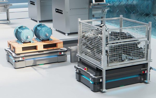
…laser-scanning technology ensure 360-degree vision for precise and safe navigation and operations, it noted. The company will also feature, upon request, an in-depth video demonstration of its newest software suite, MiR Insights, in operation at a customer facility. This cloud-based tool enables fleet owners to track and analyze the operations of its robots and get actionable insights that can improve their performance. MiR Insights' key features include: Data dashboards: Monitor key performance indicators (KPIs) such as distance driven, completed missions, and robot utilization rate Heatmaps: Track robot activity over both time and physical locations, as well as visualizes areas with…
Found in Robotics News & Content, with a score of 9.58
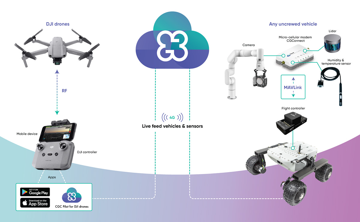
…Ground Control, a product of trusted aerospace supplier Advanced Navigation. “Enterprises who rely on drones and robotics for business operation often own a diverse range of uncrewed vehicles that may not be compatible with one another,” said Michal Weiss, head of product at Cloud Ground Control. “CGConnect is designed to solve this pain point by linking them to the Cloud Ground Control platform, regardless of manufacturer or model, turning them into a holistic, connected fleet.” CGConnect uses 4G and 5G networks to connect devices to the cloud, where users can monitor real-time data through a Web browser. In addition, CGConnect…
Found in Robotics News & Content, with a score of 4.06
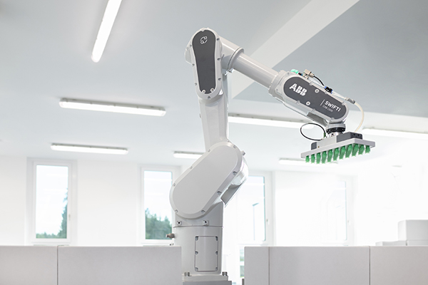
…mobile robot to “see its environment and make intelligent navigation decisions based on its surroundings, without prior programming or infrastructure,” the company stated. This next-generation AMR technology supports new levels of flexibility for production, logistics, and fulfillment through to retail and healthcare environments, said ABB. PixelPaint System for two-tone, decorative, and decal painting PixelPaint “revolutionizes vehicle painting technology, with 100% transfer efficiency that eliminates the need for masking and de-masking,” said ABB. The guided paint system can efficiently address the increasing demand for personalized paint designs, it noted. PixelPaint also eliminates paint wastage and cuts cycle times by approximately 50%,…
Found in Robotics News & Content, with a score of 24.07
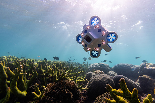
Advanced Navigation last month announced what it claimed will be Australia's largest subsea robotics facility. It said the research and development and manufacturing facility in Balcatta, Western Australia, will accelerate production of the company's underwater technologies, including its Hydrus autonomous robot. “Now more than ever, there is a need to open up the earth's oceans, to make data and knowledge more accessible to global communities, research institutions and governments,” said Xavier Orr, co-founder and CEO of Advanced Navigation. “Western Australia has always been an exploration hub for ocean discoveries.” Engineers Orr and Chris Shaw founded Advanced Navigation in 2012 to…
Found in Robotics News & Content, with a score of 7.97
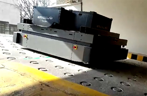
…its AWG system, which it said enables smooth wheeled navigation over challenging floors. The mobile robots also include a triple safety system, providing advanced visual recognition and stopping accuracy to reduce the potential for injury. THIRA Robotics said has developed and manufactured all of its technologies, such as control software and electrical and mechanical design, in-house. The company offers its AMRs as “a turnkey smart factory total solution,” complete with its own operating system rather than a single device. The AMRs never collect data from internal company records, protecting patrons' and employees' personal information, noted THIRA Robotics. The company claimed…

Found in Robotics Companies & Businesses, with a score of 37.39
Cloud Ground Control is a product of Advanced Navigation, which claims to be the world’s most determined innovator in AI robotic and navigation technologies. Leveraging a decade of experience working with drones, robots, and cellular technology, Advanced Navigation developed Cloud Ground Control, a “revolutionary” software-as-a-service (SaaS) platform enabling users to connect, monitor, and control any uncrewed vehicle from a web browser over 4G/5G networks.
Found in Robotics News & Content, with a score of 16.84
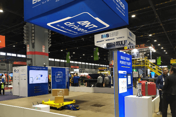
…20 years of industry experience, BlueBotics provides its Autonomous Navigation Technology (ANT) and expert support to help customers bring their AGVs, automated forklifts, or mobile robots to market. BlueBotics aims to grow ANT-driven robot fleets BlueBotics described ANT as a “market-leading” natural feature navigation technology. Companies can build on the software platform for robust, scalable, and even interoperable fleets of automated vehicles, it added. More than 4,000 ANT-driven AGVs are currently in operation worldwide, claimed St-Sulpice, Switzerland-based company. The unit of ZAPI Group also offers ANTdriven.com, an educational resource to help professionals explore how mobile robotics can help their businesses…
Found in Robotics News & Content, with a score of 6.30
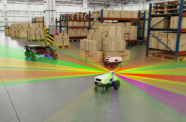
…3D lidar and can be used to initialize the navigation for mobile robots. This ROS package is GPU-accelerated and uses NITROS to create efficient ROS pipelines with no communication overhead. It is also integrated with Nav2. For more information, see the Isaac ROS Map Localization package on GitHub. NVIDIA Isaac ROS Map Location package automatically calculates initial global pose in less than half a second. Image shows RVIZ on the left, and Isaac Sim scene top view on the right. Initial global pose of the robot is computed in less than 1 second automatically using the occupancy-grid-localizer package, to start…


