Editors’ Picks
Found in Robotics White Papers & Archives, with a score of 56.81
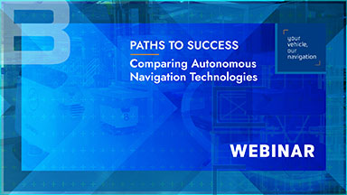
If you are looking to develop a new automated guided vehicle or mobile robot (or even upgrade an existing model), choosing the right autonomous navigation technology will be key to its success. This choice can affect not only your vehicle’s performance, but also the time (and therefore cost) required to install it on-site and, in future, to modify its operations. In this exclusive education, our expert team of robotics engineers gives an honest appraisal of today's different autonomous navigation options: from physical line-following and laser triangulation to natural feature navigation and vision guidance.
Found in Robotics News & Content, with a score of 6.10
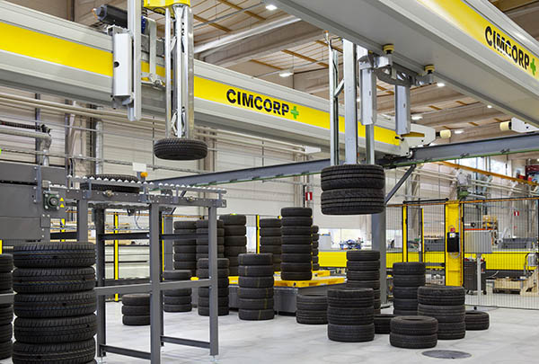
…for a wide range of load capacities, lift heights, navigation methods, temperature ratings, and software applications, the companies said. “Our recent control in leading all North American operations in partnership with the AGVE Group allows us to further build on Murata Machinery Groups’ long track record of integrating automation and solving customer challenges,” said Scott Matlock, general manager of logistics and automation divisions at Murata Machinery USA. “I’m excited to introduce our AGVs to this year’s MODEX attendees. Common in Industry 4.0 settings, AGVs are a high-value, easy-to-implement first step in automation,” he added. Understanding grocery supply chain retail In…
Found in Robotics News & Content, with a score of 19.30
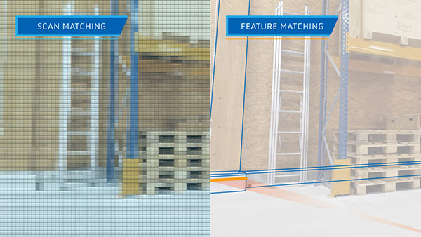
…the difference between the two main types of natural navigation technologies (sometimes called free navigation) for AGVs – scan matching and feature matching – along with their respective pros and cons. What’s the difference between scan matching and feature matching? Put simply, today’s natural navigation technologies use one of two different methodologies: scan matching (sometimes called SLAM navigation) and feature matching (used by ANT®). How scan matching works With scan matching technology, measurements from the vehicle’s laser scanners are compared (matched) to the cells of a grid-based reference map of the environment. These cells can be compared to pixels in…
Found in Robotics News & Content, with a score of 6.34
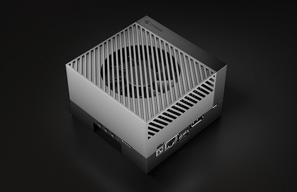
…hospitals, retailers, airports, manufacturers and others.” Designing a full navigation, safety, and management stack for new AMRs can be costly and time consuming. NVIDIA's new Isaac Nova Orin compute and sensor reference platform can free developers to focus on building and testing applications, according to Andrews. It includes over-the-air software management and can provide 3D perception for high levels of autonomy, he said. Nova Orin's two Jetson AGX Orin units provide up to 550 TOPS of AI compute for perception, navigation, and human-machine interaction. These modules process data a sensor suite of up to six cameras, three lidars, and eight…
Found in Robotics News & Content, with a score of 6.58
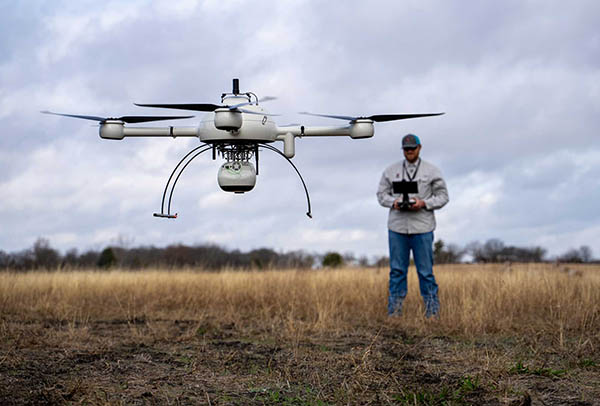
…expert staff and equipment including robotic total stations, Global Navigation Satellite System (GNSS), and state-of-the-art software. Adams Surveying also provides realty scanning using drone technology. Microdrones helps verify pre-development In the first episode of the series, Josh Adams, a surveyor in training (SIT) and small unmanned aerial system (sUAS) pilot for Adams Surveying, explained how the company uses drones for site verification. “We’re using the drone to verify the roads, pads, and lots,” he said. “We can check the elevations to see how the contractors did versus the engineering plans, to verify that everything was built the way they wanted…
Found in Robotics News & Content, with a score of 6.20
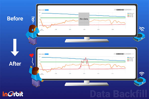
…Beyond just interoperability, the company now offers robot orchestration, which select InOrbit customers are already using. This includes enhanced navigation with heterogeneous multi-robot visualizations, defined single-occupancy areas used to trigger dynamic exclusion zones, and more.
Found in Robotics News & Content, with a score of 8.44
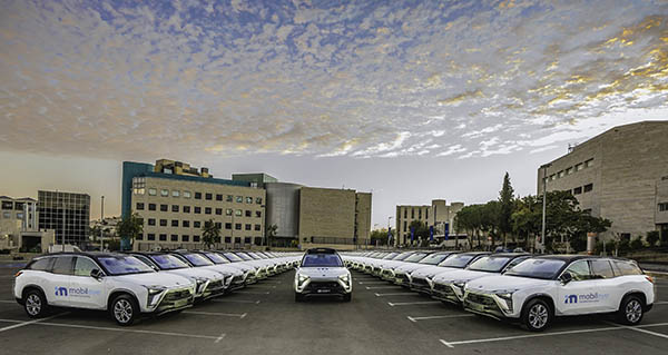
…will also take advantage of the technology provided by navigation data software company Moovit, which Intel acquired in 2020. Intel said in the four years that it has owned Mobileye, it has “experienced substantial revenue growth, achieved numerous technical innovations, and made significant investments directed to solving the most difficult scientific and technology problems to prepare the deployment of autonomous driving at scale.” Intel CEO Pat Gelsinger at the time stated that the “IPO provides the best opportunity to build on Mobileye’s track record for innovation and unlock value for shareholders.” In January, security robot company Knightscope raised $22 million…
Found in Robotics News & Content, with a score of 4.36
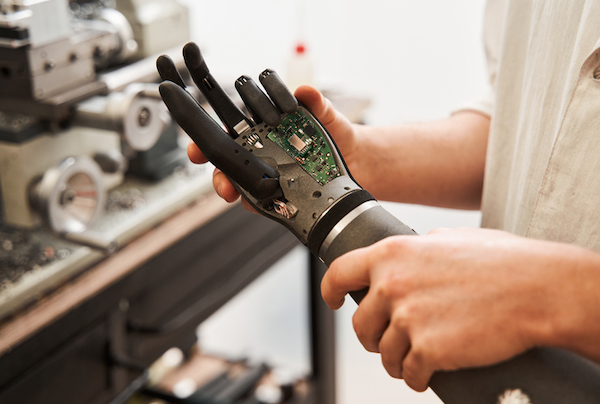
…result is an engineered device that can greatly improve navigation for blind people to walk. That's precisely what researchers and student assistants came up with at the Stanford Intelligent Systems Laboratory. They developed an easy-to-fabricate smart cane for the blind. Researchers published their findings in October's Science Robotics. The assistive device is equipped with lidar similar to the technology used in some self-driving cars and aircraft. It uses lasers to measure the distance to nearby objects and obstacles. Based on its calculation, the smart cane can steer its user. The cane also uses GPS and has additional sensors and other…
Found in Robotics News & Content, with a score of 3.91
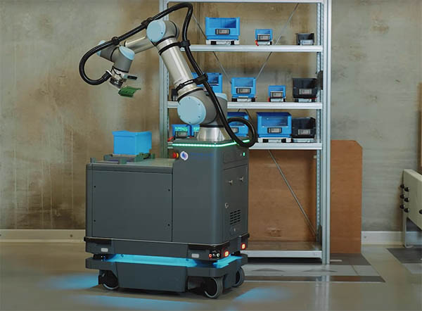
…such as identifying objects with greater precision and informing navigation for safe maneuvering through busy facilities, all with less power consumption. And while huge jumps in AI capabilities are still to come, the autonomous behavior of AMRs—how they get from one point to another without truly knowing what goes on around them—will continue to improve. 2. 5G is coming – but maybe not as fast as anyone would like Today’s mobile robots don’t require much infrastructure, so companies can easily start with one robot. However, as soon as facilities add more robots, they must have a way to connect and…
Found in Robotics News & Content, with a score of 5.87
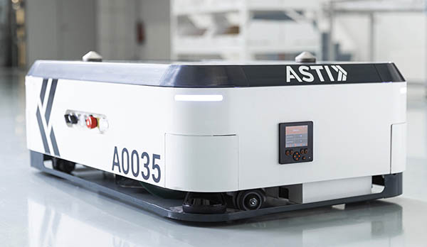
…the Burgos, Spain-based company's software offerings, ranging from vehicle navigation and control, order and fleet management, and cloud-based traceability systems. The demonstration at the trade show will feature ASTI's EBOT 350 robots. The AMRs are suitable for G2P processes in e-commerce, logistics, automotive, or manufacturing sectors, said ABB. It can also perform hundreds of applications related to warehouse management, order picking, and kitting. The EBOT 350 features a 350 kg (771.6 lb.) maximum payload, 120 mm (4.7 in.) stroke lifting height, and a speed range up to 2.2 m/s (4.9 mph). ABB to demo Covariant Brain In addition, ABB said…
Found in Robotics News & Content, with a score of 24.03
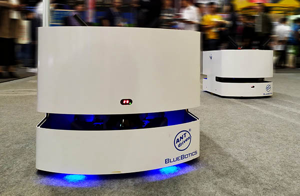
…fleet of vehicles from multiple brands using its Autonomous Navigation Technology, or ANT, at MODEX 2022 next month. The Saint-Sulpice, Switzerland-based company said its booth will include a small pallet-moving operation controlled by one ANT server software project. “As our fleet demo at MODEX will show, ANT natural-feature navigation is not only robust and precise, but it also allows a business to connect the widest possible range of vehicle types and brands together in one robust fleet,” stated Nicola Tomatis, CEO of BlueBotics. “Today's global organizations demand a high level of flexibility when building their AGV [automated guided vehicle] operations.”…
Found in Robotics News & Content, with a score of 8.01
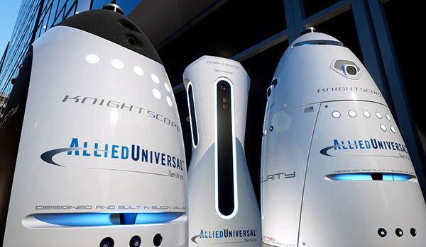
…robots are outfitted with cameras, microphones, lidar sensors, GPS navigation systems, sonar, and more to help them navigate and survey their environments. Allied Universal Technology specializes in providing safety surveillance products, including video cameras, alarm monitoring, and emergency communication systems. “Partnering with Allied Universal is a perfect recipe for success—robots are deployed to do the monotonous, computational heavy work, while the strategic, hands-on activities are the responsibility of the humans, stated William Santana Li, chairman and CEO of Knightscope. Robots help deter crime By working together, the companies said they hope to “deter crime and enhance situational awareness.” “The partnership…


