Editors’ Picks
Found in Robotics News & Content, with a score of 0.56
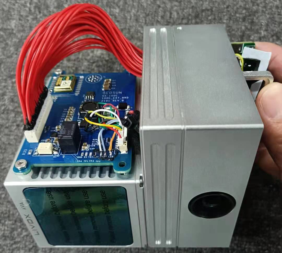
…Geosun's intellectual property is dedicated to the application of GNSS (Global Navigation Satellite System), INS (inertial navigation systems), and GIS (geographic information system) expertise. The company said it focuses on satellite and integrated navigation positioning. It also develops, produces, and sells lidar scanners, POS systems, and PPK (post-processed kinematic) and RTK (real-time kinematic) equipment. Geosun to use IMUs in lidar scanners Geosun is integrating ACEINNA’s OpenIMU330BI and IMU383 inertial measurement units (IMUs) into lidar systems that are used to help navigate and guide airborne drone systems, especially those used in a variety of construction planning and mapping operations. Geosun's products…
Found in Robotics News & Content, with a score of 0.49
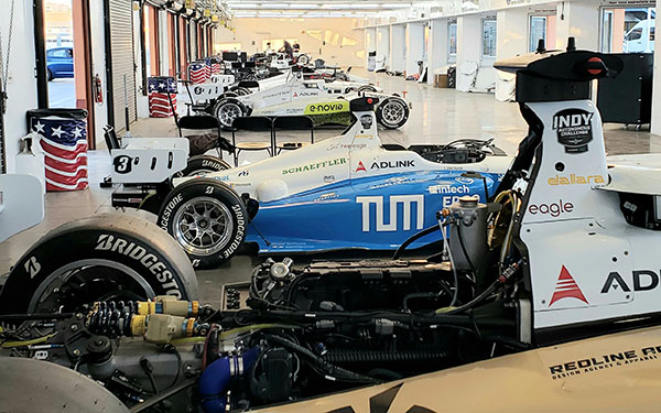
…its ARS540. VectorNav Technologies will supply its VN-310 dual-antenna GNSS/INS with real-time kinematic (RTK) positioning for the Dellara AV-21 racecars. “These are among the most advanced autonomous vehicles in the world,” explained Mitchell. “There's no place for a human, and the autonomous system is packed tightly into the cockpit, including three lidars, three radars, a supercomputer, a drive-by-wire system, six optical sensors, six GPS/GNSS units, a low-level computer, a BP/Cisco network switch, and wireless communications.” “If you look at the cockpit, packaging, harnesses, wiring, aerodynamics, and connectivity of these vehicles, we're addressing constraints,” he said. “Compared with commercial [self-driving] vehicles…
Found in Robotics News & Content, with a score of 0.48
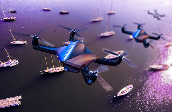
…to perform complex navigation and manipulation tasks in a GNSS (Global Navigation Satellite System)-denied environment. A swarm of UAVs must identify a target vessel from several similar vessels in open waters in a GNSS-denied environment. It must then offload specific items from the target onto an USV in the shortest possible time using autonomous technologies. Morrish said this is a new kind of exercise for robotics. “A nice thing about this challenge is that you tell people what you want, but you don’t specify an approach to do it,” he said. “The very idea of the MBZIRC Maritime Grand Challenge…
Found in Robotics News & Content, with a score of 0.47
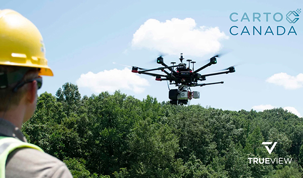
…and remotely piloted aircraft systems (RPAS), mobile lidar, and GNSS antennas. More than a supplier, CartoCanada said it consults with its clients to ensure they get the best geospatial equipment for their needs, helping them increase their project’s productivity, safety, and accuracy of deliverables. CartoCanada said its team thoroughly researches prospective partners to ensure their technologies are tested, supported, and, most importantly, available when customers are ready to implement. It said this focus provides “a superior level of technical support, knowledge, and service.” “We believe that GeoCue will bring a unique experience to our Canadian clients from what other solutions…
Found in Robotics News & Content, with a score of 0.40
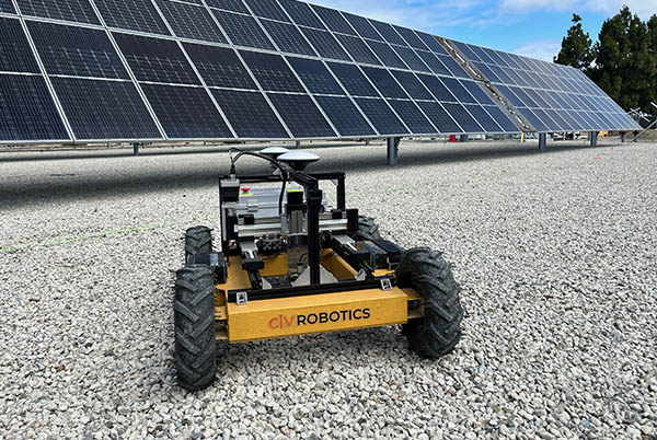
…field workers and helps remove the burden of repetitive and risky work,” he said. “Civ Robotics uses Trimble’s high-precision GNSS [global navigation satellite system] positioning technology and surveying software to improve productivity and increase safety. This is an exciting opportunity to help accelerate innovation in autonomy, surveying, and construction.” Civ Robotics said it plans to use its funding for sales and marketing, technology development, and growing its team both in the U.S. and Tel Aviv, Israel, where its research and development is based.
Found in Robotics News & Content, with a score of 0.38
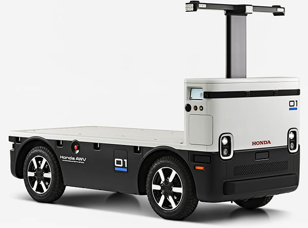
…capacity of 2,000 lb. Improved navigation in locations where GNSS (Global Navigation Satellite System) service is weak or unavailable through the use of lidar sensors Simplified tablet-based programming interface and cloud connectivity Higher speed in autonomous mode – up to 10 miles per hour (mph) Increased battery size and longer operating time of up to 10 hours Enhanced avoidance function for vehicles stopped on road Lower bed for easier loading and improved ergonomics The Honda AWV uses a suite of sensors to operate autonomously, using GPS for location, radar and lidar for obstacle detection and cameras for remote monitoring, the…
Found in Robotics News & Content, with a score of 0.37
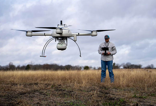
…equipment including robotic total stations, Global Navigation Satellite System (GNSS), and state-of-the-art software. Adams Surveying also provides realty scanning using drone technology. Microdrones helps verify pre-development In the first episode of the series, Josh Adams, a surveyor in training (SIT) and small unmanned aerial system (sUAS) pilot for Adams Surveying, explained how the company uses drones for site verification. “We’re using the drone to verify the roads, pads, and lots,” he said. “We can check the elevations to see how the contractors did versus the engineering plans, to verify that everything was built the way they wanted it to be.”…
Found in Robotics News & Content, with a score of 0.36
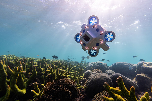
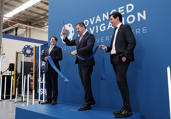
…several new and deep technology fields, including underwater acoustics, GNSS antennas and receivers, radio frequency systems, inertial sensors, robotics, and quantum-enhanced inertial navigation. In November 2022, Advanced Navigation raised AUD108 million ($68 million U.S.) in Series B funding, brginging its total funding to AUD134 million ($85 million). New center to help speed launch of subsea products “The new subsea centre will help Advanced Navigation meet the growing demand for high-grade underwater data, bringing new and existing solutions to market far more quickly and efficiently,” stated Orr. “With the goal to grow our subsea team threefold, we are confident this investment…
Found in Robotics News & Content, with a score of 0.31
…Australia-based company has advanced into technologies including underwater acoustics, GNSS antennas and receivers, radio frequency systems, inertial sensors, robotics, and quantum-enhanced inertial navigation. Advanced Navigation AI solves complex challenges “There is a seismic shift across the landscape of sovereign manufacturing, driven by advanced technologies like AI, automation and precision engineering,” according to Advanced Navigation. “In the context of autonomous systems, the importance of precision and reliability is non-negotiable.” The facility at the University of Technology Sydney (UTS) Tech Lab follows a “vertical integration framework,” housing equipment for automated manufacturing using machine learning, according to the company. This “guarantees the delivery…
Found in Robotics News & Content, with a score of 0.19
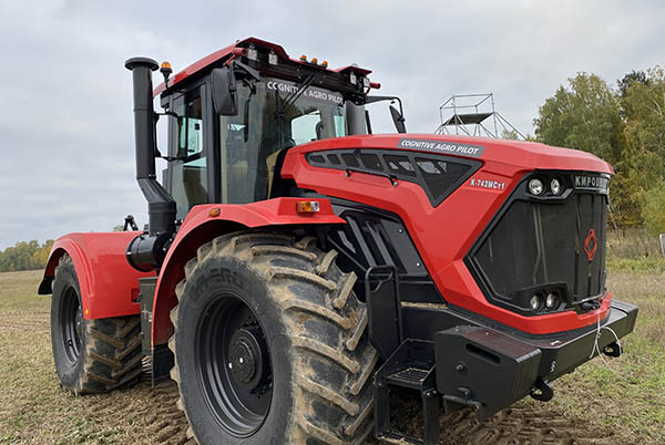
…in low-visibility conditions. Cognitive Agro Pilot will include a GNSS high-precision positioning system for steering. This is needed for operations in areas where no visual guidance points are available and farm fields are demarcated, said the company. It also enables automatic interpretation of satellite images, plotting of harvesting patterns, and driving directions, all of which can be corrected by the computer vision system, according to Cognitive Pilot. Cognitive Agro Pilot can transmit progress reports to the messenger apps of tractor owners, as well as telematic data about the state of the machine and progress of work with confirmed photographic and…

Found in Robotics News & Content, with a score of 0.12
…received via antenna from a global navigation satellite system (GNSS). Cameras mounted around the robots provide 360 degrees of real-time obstacle detection. Otteman said as Scythe’s camera-based machine vision gets more sophisticated, they can rely on it as a complementary data source when satellite coverage might be blocked, such as underneath a tree canopy. Hamilton and Otteman also said ultrasonic sensors are embedded in the M.52 frames for development of the next generation of mowers. As Scythe’s robots autonomously mow, camera images are streamed for logging. Images are also collected from run-in, development, and test robots. “We have an employee…


