Editors’ Picks
Found in Robotics News & Content, with a score of 9.63
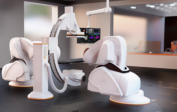
…through delicate and critical areas. Stereotaxis Inc.'s Robotic Magnetic Navigation technology is designed to improve precision and safety, as well as to provide integrated procedural information. The St. Louis, Mo.-based company said its Robotic Magnetic Navigation (RMN) technology has been used to treat more than 140,000 patients around the world. Stereotaxis has been improving its Genesis RMN system, said CEO David Fischel. “We've pushing hard on the path of innovation,” he said. “We're in 100 hospitals worldwide, and use of our system has resulted in 72% fewer complications, 6% to 8% improved efficacy, and 35% less radiation exposure to staff…
Found in Robotics News & Content, with a score of 9.60
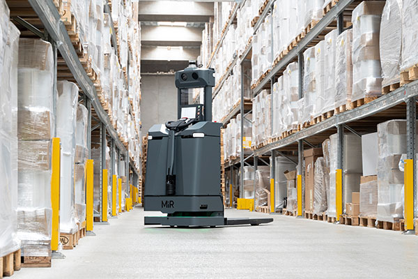
…employees to more valuable assignments.” AI provides mobile robot navigation, troubleshooting With AI pallet detection powered by NVIDIA Jetson AGX Orin, the MiR1200 Pallet Jack uses 3D machine vision to identify, pick up, and deliver pallets. First introduced at LogiMat in Germany in March, the MiR1200 Pallet Jack can interoperate with MiR’s deck load AMRs, which the company said makes it ideal for large-scale enterprise customers who typically operate more complex workflows with larger fleets and multiple sites. MiR said its AMRs can navigate smoothly and safely among people and other transport equipment in dynamic environments, even on busy trade…
Found in Robotics News & Content, with a score of 9.58
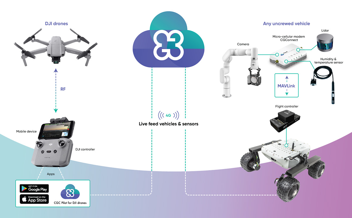
…Ground Control, a product of trusted aerospace supplier Advanced Navigation. “Enterprises who rely on drones and robotics for business operation often own a diverse range of uncrewed vehicles that may not be compatible with one another,” said Michal Weiss, head of product at Cloud Ground Control. “CGConnect is designed to solve this pain point by linking them to the Cloud Ground Control platform, regardless of manufacturer or model, turning them into a holistic, connected fleet.” CGConnect uses 4G and 5G networks to connect devices to the cloud, where users can monitor real-time data through a Web browser. In addition, CGConnect…
Found in Robotics News & Content, with a score of 9.58
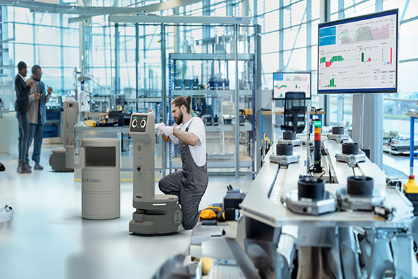
…open API for easier integrations, to sophisticated 3D LiDAR-based navigation and real-time operation data visualization. “The retail and logistics sector has been experiencing significant transformation for years, linked to the growth of e-commerce, automation and a shortage of talent in the value chain, for example stock fillers in stores or water spiders in a warehouse or production plant,” said Thomas Linkenheil, co-CEO of United Robotics Group. URG said uLink offers a comprehensive modular robotics offering, equipped with IDE, SDK and fleet management tools for simple integration into existing IT systems, along with LiDARs, motors and sensors that ensure the robot’s…
Found in Robotics News & Content, with a score of 9.58
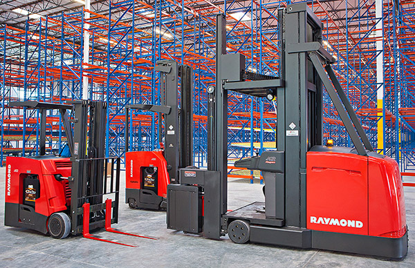
…lowering offers reduced downtime and improved energy efficiency thanks to fewer battery charges, while natural feature recognition allows infrastructure-free navigation, said Raymond.
Found in Robotics News & Content, with a score of 9.57
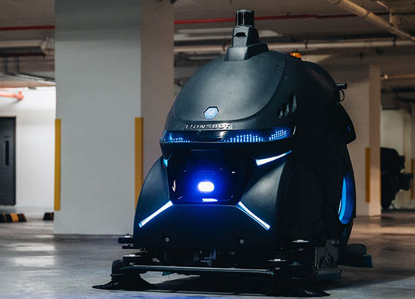
…3D LiDAR coverage of 200 meters and 3D SLAM navigation, the Rex CS can clean dynamic environments with intelligent path planning that adapts to obstacles on the fly, while picking up even the smallest debris, leaving floors immaculate,” the Singapore-based company said in a press release. The robot features a “brush pressure of up to 95 kg (209 lb.), a cleaning width of 1,270mm (50 in.), and twin cylindrical nylon-carbide coated brushes for a polished finish,” the company noted. “The side brushes push debris inwards effectively, even from the edges of the walls, allowing the Rex CS to clean up…
Found in Robotics News & Content, with a score of 9.55
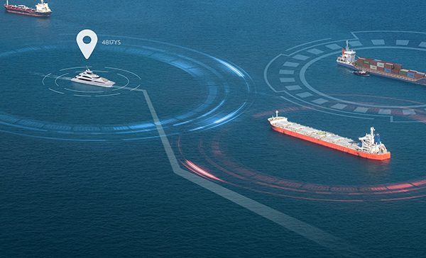
…operations, while only guiding the operator. The system enables navigation with greater precision and predictability, helping to reduce costs, fuel consumption, and emissions, said the companies. It includes fusion of digital marine sensors, embedded electronic charts, AI algorithms, and broad-area computer vision, according to Sea Machines and Rolls-Royce. mtu NautIQ CoOperate is an optionally autonomous ship navigation command system which enables off-boat remote command, including all payloads on board. The system can take over routine and monotonous vessel tasks, and it allows crews to focus on more important aspects of their missions, the companies said. The tug Nellie Bly used…
Found in Robotics News & Content, with a score of 9.55
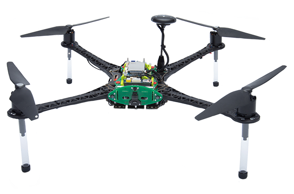
…The company offers custom-designed and plug-and-play modules for autonomous navigation and the use of Wi-Fi, 4G, and 5G networks. Qualcomm collaborates with spinoff ModalAI partnered with Qualcomm to design and develop the Qualcomm Flight RB5 5G and plans to support it through its lifecycle with open-source software. The platform is intended to enable developers and original equipment manufacturers (OEMs) to build drone and flight applications using 5G technology. The Qualcomm Flight RB5 5G Platform has 10 times the computing power of the Qualcomm RB3 robotic platform and supports artificial intelligence, machine learning (ML), and visual-inertial odometry (VIO). The Qualcomm Flight…
Found in Robotics News & Content, with a score of 9.48
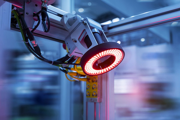
…push out traditional ones. As machine vision advances, robotics navigation may depend less on lidar. Traditionally, mobile robots have relied heavily on lidar technology to guide and navigate their mobility. Lidar is a sensing technology that uses lasers to measure distances and create 3D maps of the environment. Machine vision is just more practical and economical than legacy lidar systems, according to Rand Voorhies, co-founder and chief technology officer at inVia Robotics in Westlake Village, Calif. “2D machine vision in warehouse settings is cheaper, easier, and more reliable than lidar,” he said. “inVia Picker robots utilize 2D machine vision with…
Found in Robotics News & Content, with a score of 9.46
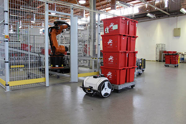
…+/-2 cm localization accuracy in 85% dynamic environments Autonomous navigation—ensures safety and optimal movement in highly dynamic environments by continuously adjusting the path plan according to real-time data Automated obstacle avoidance and risk prevention—integrates advanced sensing and localization with autonomous navigation and control to reduce the risks involved in highly dynamic environments Automated sensor calibration to ensure accuracy and avoid degradation due to accidents, vibrations, or sudden temperature changes 3D physics simulator—integrated into the MOV.AI IDE. Speed up development without compromising on quality by testing robot software without the need for a physical robot Enterprise-grade software tools - debugging, versioning,…
Found in Robotics News & Content, with a score of 9.44
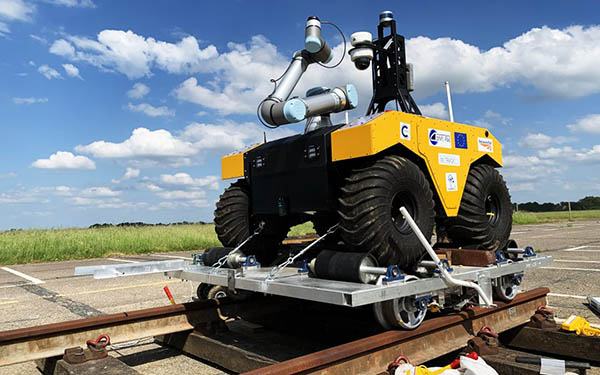
…a repair action would be made. Furthermore, the range, navigation, and communication challenges would also be demonstrated at scale. However, such an autonomous system for railways isn’t as simple as it might seem. The environment of the railway infrastructure is surprisingly tough for autonomous devices. For example, there are some places with no communications or GPS (such as tunnels and Faraday cages), few opportunities for charging, and uneven surfaces with obstacles. The scale of the challenge also required millimeter accuracy within a 1,000 km (621.3 mi.) network to, for example, repeat the measurement of a crack. In2Smart 2 was intended…

Found in Robotics News & Content, with a score of 9.37
…involves empowering a robot cell to disassemble electronic consumer waste such as laptops, while a second will improve the navigation predictability of autonomous water vessels. A third study will dynamically adapt work and navigation paths assigned to fleets of autonomous mobile robots (AMRs) when anomalies - such as low batteries or unforeseen human behavior - arise on shop floors, while the fourth will automatically assess risks in human-robot collaboration (cobot) situations to avoid accidents and reduce costs.


